2014
TG0742 : Flowering gorse beside the path
taken 10 years ago, near to Salthouse, Norfolk, England
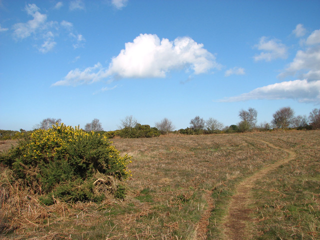
Flowering gorse beside the path
Many paths and tracks traverse Salthouse Heath.
Salthouse Heath
There are nine large Bronze Age burial mounds on Salthouse Heath. These, and many smaller mounds, including a cluster of over thirty, make it the largest Bronze Age cemetery in Norfolk. In the Middle Ages, grazing animals continued to keep the area open and Salthouse Heath was an integral part of the local economy: gorse provided hot-burning fuelwood and farmers used gorse bushes as bases for haystacks and, in some parts, even as agricultural implements - dragged behind the horse, a gorse bush produces a fine seedbed. Turf or flag cutting was also known to have been carried out at Salthouse.
For more information see: Link
 Map © Crown Copyright")
TIP: Click the map for more Large scale mapping
- Grid Square
- TG0742, 38 images (more nearby 🔍)
- Photographer
- Evelyn Simak (more nearby)
- Date Taken
- Tuesday, 4 March, 2014 (more nearby)
- Submitted
- Tuesday, 4 March, 2014
- Subject Location
-
OSGB36:
 TG 0745 4258 [10m precision]
WGS84: 52:56.4300N 1:5.1482E - Camera Location
-
OSGB36: TG 0741 4254
- View Direction
- Northeast (about 45 degrees)