2014
NR4351 : Track near fort near Loch nan Clach, Islay
taken 10 years ago, 5 km NNE of Ardbeg, Islay, Argyll And Bute, Scotland
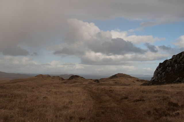
Track near fort near Loch nan Clach, Islay
There are many forts, duns and other archaeological features marked on the map in this part of the island. This fort is particularly impressive. For a better photo, see:
 Map © Crown Copyright")
TIP: Click the map for more Large scale mapping
- Grid Square
- NR4351, 11 images (more nearby 🔍)
- Photographer
- Becky Williamson (more nearby)
- Date Taken
- Monday, 3 March, 2014 (more nearby)
- Submitted
- Wednesday, 5 March, 2014
- Subject Location
-
OSGB36:
 NR 43031 51049 [1m precision]
WGS84: 55:41.0799N 6:5.3827W - Camera Location
-
OSGB36: NR 4303 5104
- View Direction
- North-northeast (about 22 degrees)