2005
SH3088 : Campsite
taken 19 years ago, near to Rhydwyn, Isle of Anglesey/Sir Ynys Mon, Wales
Campsite
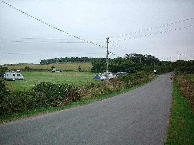
Taken from SH302884 looking SSE down the road. A camp site can be seen on the left of the image. The Camp site does not appear on the OS maps for this area so I assume it is a relatively new feature.
 Map © Crown Copyright")
TIP: Click the map for more Large scale mapping
- Grid Square
- SH3088, 37 images (more nearby 🔍)
- Photographer
- Dave Smethurst (more nearby)
- Date Taken
- Monday, 15 August, 2005 (more nearby)
- Submitted
- Wednesday, 17 August, 2005
- Subject Location
-
OSGB36:
 SH 30 88 [1000m precision]
WGS84: 53:21.9666N 4:32.9352W