2014
SX4674 : Lane near Churchpark Cottages
taken 10 years ago, near to Tavistock, Devon, England
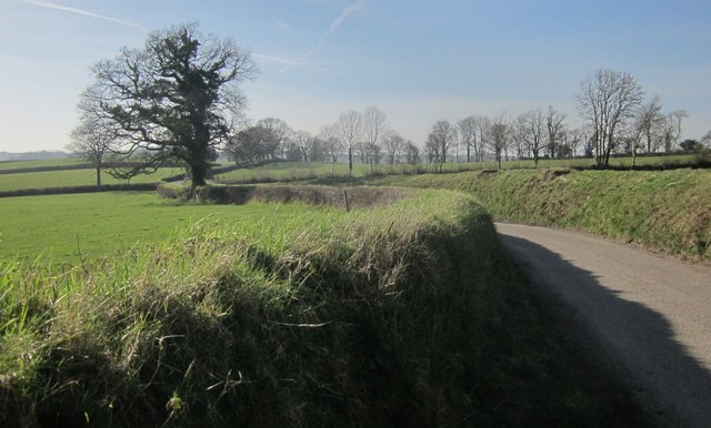
Lane near Churchpark Cottages
Looking in the opposite direction to SX4674 : Lane to Tavistock. Again, the lane follows the parish boundary between Lamerton (right) and Gulworthy.
 Map © Crown Copyright")
TIP: Click the map for more Large scale mapping
- Grid Square
- SX4674, 13 images (more nearby 🔍)
- Photographer
- Derek Harper (more nearby)
- Date Taken
- Saturday, 8 March, 2014 (more nearby)
- Submitted
- Monday, 10 March, 2014
- Subject Location
-
OSGB36:
 SX 4643 7480 [10m precision]
WGS84: 50:33.1641N 4:10.1505W - Camera Location
-
OSGB36: SX 4648 7481
- View Direction
- West-southwest (about 247 degrees)