2007
SE5334 : Agricultural Access Lane
taken 17 years ago, near to Little Fenton, North Yorkshire, England
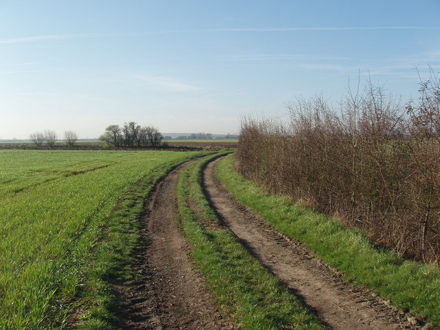
Agricultural Access Lane
Near Little Fenton Lodge (in an adjacent square) this lane gives access to arable fields and runs alongside a drainage dirtch from which it is separated at this point by a hedge. The hedge to the left, at a right angle to the lane is a field boundary.
 Map © Crown Copyright")
TIP: Click the map for more Large scale mapping
- Grid Square
- SE5334, 5 images (more nearby 🔍)
- Photographer
- Robert Neilson (more nearby)
- Date Taken
- Thursday, 5 April, 2007 (more nearby)
- Submitted
- Thursday, 5 April, 2007
- Subject Location
-
OSGB36:
 SE 531 349 [100m precision]
WGS84: 53:48.4614N 1:11.7081W - Camera Location
-
OSGB36: SE 531 349
- View Direction
- SOUTH (about 180 degrees)