2014
TM4896 : View along the Angles Way
taken 10 years ago, near to Somerleyton, Suffolk, England
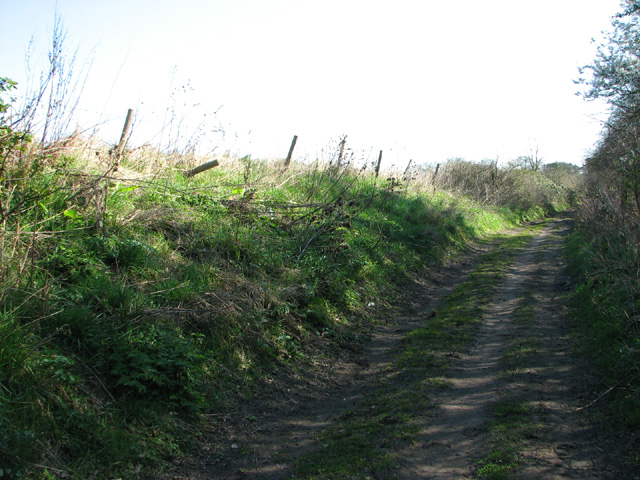
View along the Angles Way
This section is a farm track skirting Wadding Wood; it connects with Waddling Lane further to the east.
 Map © Crown Copyright")
TIP: Click the map for more Large scale mapping
- Grid Square
- TM4896, 45 images (more nearby 🔍)
- Photographer
- Evelyn Simak (more nearby)
- Date Taken
- Sunday, 16 March, 2014 (more nearby)
- Submitted
- Sunday, 16 March, 2014
- Subject Location
-
OSGB36:
 TM 4860 9639 [10m precision]
WGS84: 52:30.5201N 1:39.7204E - Camera Location
-
OSGB36: TM 4857 9639
- View Direction
- East-southeast (about 112 degrees)