2005
NS6960 : Main Street, Uddingston
taken 19 years ago, near to Uddingston, South Lanarkshire, Scotland
This is 1 of 2 images, with title Main Street, Uddingston in this square
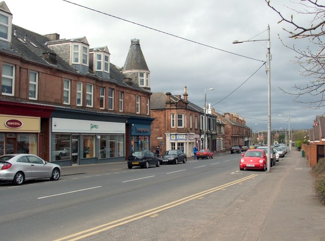
Main Street, Uddingston
The view is superficially similar to another contributor's picture of the Main Street (NS6960 : Uddingston, the Cross), but the present photograph was taken from a point about 500 metres further to the north. The people near the middle of the picture are standing beside the junction with Gardenside Street. The view is from the junction with Lower Millgate.
My thanks to John M, who pointed out that parts of the building near the centre of the picture, on the far side of Gardenside Street, where the people are standing, was used as a drill hall in the First World War. John also supplied the following useful Canmore link with further details: Link
My thanks to John M, who pointed out that parts of the building near the centre of the picture, on the far side of Gardenside Street, where the people are standing, was used as a drill hall in the First World War. John also supplied the following useful Canmore link with further details: Link
 Map © Crown Copyright")
TIP: Click the map for more Large scale mapping
- Grid Square
- NS6960, 37 images (more nearby 🔍)
- Photographer
- Lairich Rig (more nearby)
- Date Taken
- Friday, 1 April, 2005 (more nearby)
- Submitted
- Friday, 21 March, 2014
- Subject Location
-
OSGB36:
 NS 6952 6073 [10m precision]
WGS84: 55:49.3278N 4:5.0537W - Camera Location
-
OSGB36: NS 6955 6068
- View Direction
- Northwest (about 315 degrees)