2014
SN6700 : Mynydd Gelliwastad
taken 10 years ago, near to Pant-Lasau, Swansea/Abertawe, Wales
Mynydd Gelliwastad
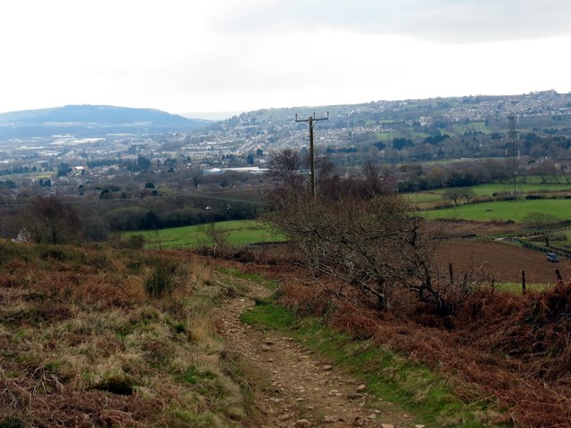
Llwybr ar lethrau deheuol Mynydd Gelliwastad yn mynd tuag at Heol Mynydd Gelliwastad. Y dref yn y pellter yw Treforus.
A path descending the southern end of Mynydd Gelliwastad (trans. flat grove mountain). The settlement in the distance is Morriston.
A path descending the southern end of Mynydd Gelliwastad (trans. flat grove mountain). The settlement in the distance is Morriston.
 Map © Crown Copyright")
TIP: Click the map for more Large scale mapping
- Grid Square
- SN6700, 5 images (more nearby 🔍)
- Photographer
- Alan Richards (more nearby)
- Date Taken
- Thursday, 27 March, 2014 (more nearby)
- Submitted
- Thursday, 27 March, 2014
- Subject Location
-
OSGB36:
 SN 6707 0080 [10m precision]
WGS84: 51:41.4102N 3:55.4704W - Camera Location
-
OSGB36: SN 6703 0083
- View Direction
- Southeast (about 135 degrees)