2014
NX4459 : Farmland and Woodland neat Grange of Cree
taken 10 years ago, 3 km from Causeway End, Dumfries And Galloway, Scotland
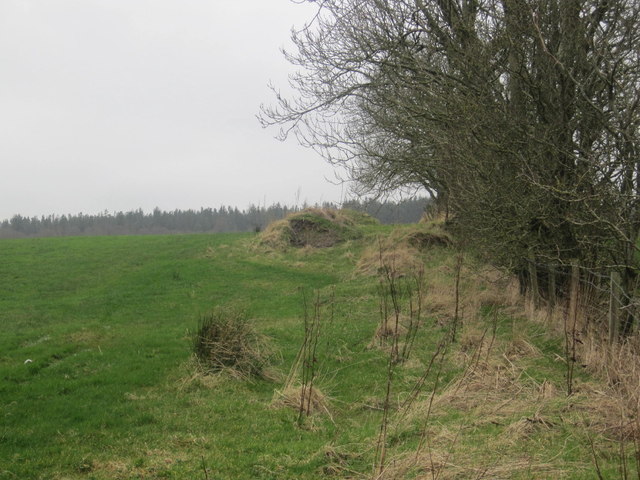
Farmland and Woodland neat Grange of Cree
 Map © Crown Copyright")
TIP: Click the map for more Large scale mapping
- Grid Square
- NX4459, 7 images (more nearby 🔍)
- Photographer
- Les Hull (more nearby)
- Date Taken
- Sunday, 9 March, 2014 (more nearby)
- Submitted
- Sunday, 30 March, 2014
- Subject Location
-
OSGB36:
 NX 448 599 [100m precision]
WGS84: 54:54.5775N 4:25.3474W - Camera Location
-
OSGB36: NX 449 599
- View Direction
- West-southwest (about 247 degrees)