2014
NX4362 : Confluence of the Brushy Burn and the River Cree
taken 10 years ago, near to Baltersan, Dumfries And Galloway, Scotland
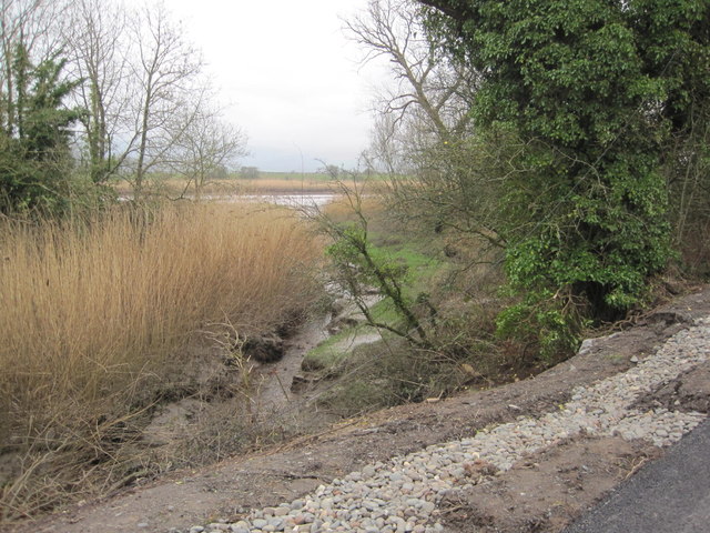
Confluence of the Brushy Burn and the River Cree
 Map © Crown Copyright")
TIP: Click the map for more Large scale mapping
- Grid Square
- NX4362, 10 images (more nearby 🔍)
- Photographer
- Les Hull (more nearby)
- Date Taken
- Sunday, 9 March, 2014 (more nearby)
- Submitted
- Sunday, 30 March, 2014
- Subject Location
-
OSGB36:
 NX 4346 6229 [10m precision]
WGS84: 54:55.8398N 4:26.6783W - Camera Location
-
OSGB36: NX 4343 6221
- View Direction
- North-northeast (about 22 degrees)