2014
SU7497 : The A40 through Aston Wood
taken 10 years ago, near to Crowell Hill, Oxfordshire, England
This is 1 of 2 images, with title The A40 through Aston Wood in this square
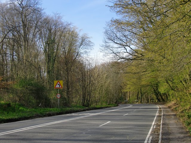
The A40 through Aston Wood
Photo taken from a point close to the crest of the Chiltern scarp. As the road bends to the left it begins the long descent towards the Icknield Way, winding its way through woodland.
Photo taken on the 1st of April - early spring, and in the woods the leaf buds are just opening.
Photo taken on the 1st of April - early spring, and in the woods the leaf buds are just opening.
 Map © Crown Copyright")
TIP: Click the map for more Large scale mapping
- Grid Square
- SU7497, 39 images (more nearby 🔍)
- Photographer
- Stefan Czapski (more nearby)
- Date Taken
- Tuesday, 1 April, 2014 (more nearby)
- Submitted
- Thursday, 3 April, 2014
- Subject Location
-
OSGB36:
 SU 7440 9737 [10m precision]
WGS84: 51:40.2112N 0:55.5333W - Camera Location
-
OSGB36: SU 7446 9727
- View Direction
- North-northwest (about 337 degrees)