2014
SD6234 : Hothersall Lane
taken 10 years ago, near to Balderston, Lancashire, England
This is 1 of 3 images, with title starting with Hothersall in this square
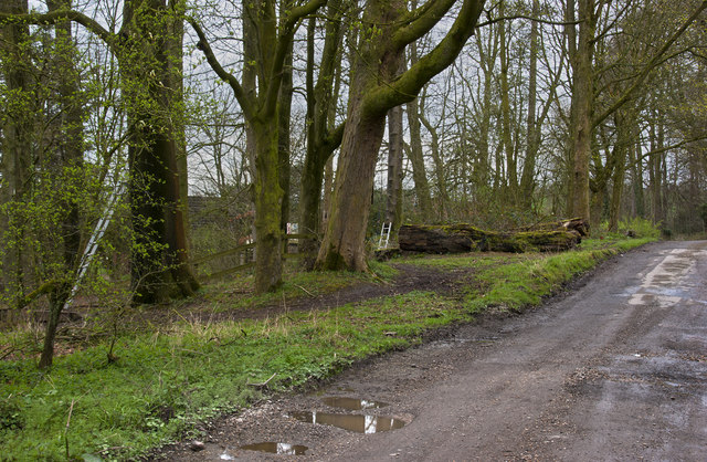
Hothersall Lane
 Map © Crown Copyright")
TIP: Click the map for more Large scale mapping
- Grid Square
- SD6234, 14 images (more nearby 🔍)
- Photographer
- Ian Greig (more nearby)
- Date Taken
- Friday, 4 April, 2014 (more nearby)
- Submitted
- Saturday, 5 April, 2014
- Subject Location
-
OSGB36:
 SD 6275 3463 [10m precision]
WGS84: 53:48.3972N 2:34.0273W - Camera Location
-
OSGB36: SD 62852 34651
- View Direction
- West-southwest (about 247 degrees)