2005
TQ5880 : Morning Mist in Mardyke Valley
taken 19 years ago, near to North Stifford, Thurrock, England
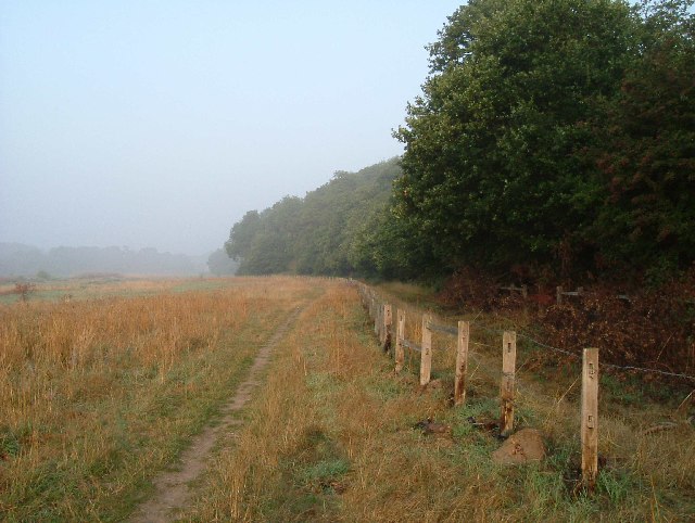
Morning Mist in Mardyke Valley
Technically the path behind the fence on the right is a permissive link for horse traffic. It follows the water meadows of the Mardyke River valley through the country park from Stifford Bridge to Ship Lane Aveley, it is not marked as a public right of way on OS Maps. Clearly walkers vote with their feet and stay to the left of the fence. The photograph was taken at the edge of Brannets Wood (the second oldest woodland in Essex) Link (Archive Link ) looking towards the A13/M25 interchange.
 Map © Crown Copyright")
TIP: Click the map for more Large scale mapping
- Grid Square
- TQ5880, 31 images (more nearby 🔍)
- Photographer
- Glyn Baker (more nearby)
- Date Taken
- Thursday, 18 August, 2005 (more nearby)
- Submitted
- Thursday, 18 August, 2005
- Subject Location
-
OSGB36:
 TQ 588 803 [100m precision]
WGS84: 51:29.9601N 0:17.1845E - View Direction
- West-southwest (about 247 degrees)