2014
NS4955 : Walton Dam and flooded field
taken 10 years ago, near to Neilston, East Renfrewshire, Scotland
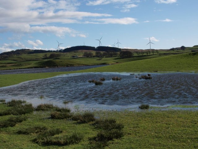
Walton Dam and flooded field
The standing water in the foreground is actually a flood in a field just to the west of Walton Dam, which lies behind.
 Map © Crown Copyright")
TIP: Click the map for more Large scale mapping
- Grid Square
- NS4955, 15 images (more nearby 🔍)
- Photographer
- Alec MacKinnon (more nearby)
- Date Taken
- Sunday, 6 April, 2014 (more nearby)
- Submitted
- Sunday, 6 April, 2014
- Subject Location
-
OSGB36:
 NS 4937 5565 [10m precision]
WGS84: 55:46.2396N 4:24.1647W - Camera Location
-
OSGB36: NS 4939 5575
- View Direction
- South-southwest (about 202 degrees)