2012
SD5190 : Footpath alongside the River Kent
taken 12 years ago, near to Natland, Cumbria, England
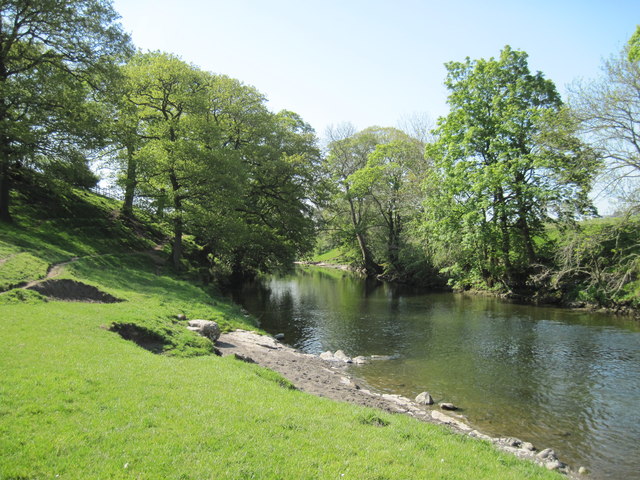
Footpath alongside the River Kent
 Map © Crown Copyright")
TIP: Click the map for more Large scale mapping
- Grid Square
- SD5190, 32 images (more nearby 🔍)
- Photographer
- Martin Dawes (more nearby)
- Date Taken
- Tuesday, 22 May, 2012 (more nearby)
- Submitted
- Sunday, 6 April, 2014
- Subject Location
-
OSGB36:
 SD 5142 9031 [10m precision]
WGS84: 54:18.3641N 2:44.8856W - Camera Location
-
OSGB36: SD 5147 9039
- View Direction
- South-southwest (about 202 degrees)