2012
SD5284 : Lancaster Canal from Field End Bridge
taken 12 years ago, near to Stainton, Cumbria, England
This is 1 of 2 images, with title starting with Lancaster in this square
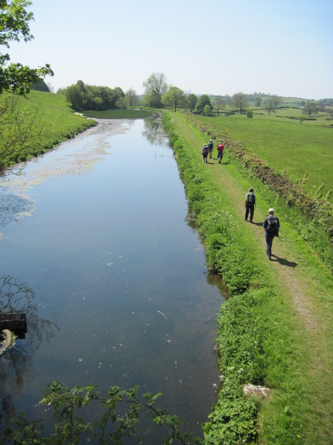
Lancaster Canal from Field End Bridge
We were walking on the left bank but we crossed the bridge as the footpath now takes us along the right bank
 Map © Crown Copyright")
TIP: Click the map for more Large scale mapping
- Grid Square
- SD5284, 35 images (more nearby 🔍)
- Photographer
- Martin Dawes (more nearby)
- Date Taken
- Tuesday, 22 May, 2012 (more nearby)
- Submitted
- Monday, 7 April, 2014
- Subject Location
-
OSGB36:
 SD 525 848 [100m precision]
WGS84: 54:15.4155N 2:43.8375W - Camera Location
-
OSGB36: SD 525 849
- View Direction
- Southwest (about 225 degrees)