2014
SH6281 : Isle of Anglesey Coastal Path at Pentir
taken 10 years ago, near to Penmon, Isle of Anglesey/Sir Ynys Mon, Wales
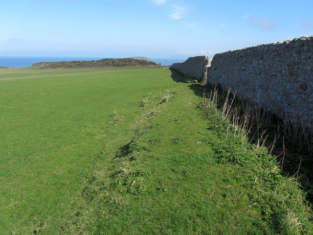
Isle of Anglesey Coastal Path at Pentir
The long distance footpath heading for Black Point beside a substantial boundary wall.
 Map © Crown Copyright")
TIP: Click the map for more Large scale mapping
- Grid Square
- SH6281, 42 images (more nearby 🔍)
- Photographer
- Chris Heaton (more nearby)
- Date Taken
- Tuesday, 1 April, 2014 (more nearby)
- Submitted
- Tuesday, 8 April, 2014
- Subject Location
-
OSGB36:
 SH 6271 8107 [10m precision]
WGS84: 53:18.5233N 4:3.7193W - Camera Location
-
OSGB36: SH 6261 8103
- View Direction
- East-northeast (about 67 degrees)