2013
SX5865 : Ditches and Rough Moorland near Hentor Brook
taken 11 years ago, 4 km SE of Sheepstor, Devon, England
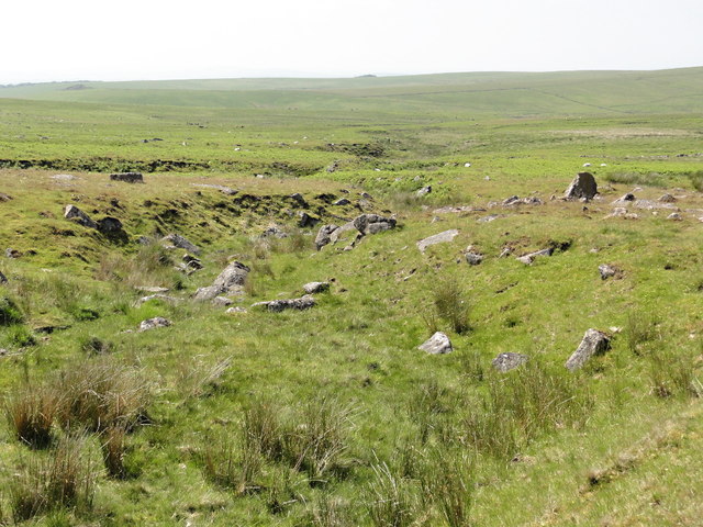
Ditches and Rough Moorland near Hentor Brook
 Map © Crown Copyright")
TIP: Click the map for more Large scale mapping
- Grid Square
- SX5865, 13 images (more nearby 🔍)
- Photographer
- Tony Atkin (more nearby)
- Date Taken
- Saturday, 6 July, 2013 (more nearby)
- Submitted
- Wednesday, 9 April, 2014
- Subject Location
-
OSGB36:
 SX 5881 6531 [10m precision]
WGS84: 50:28.2340N 3:59.4565W - Camera Location
-
OSGB36: SX 5886 6534
- View Direction
- West-southwest (about 247 degrees)