2006
NS8045 : Tillietudlem
taken 18 years ago, near to Draffan, South Lanarkshire, Scotland
This is 1 of 2 images, with title Tillietudlem in this square
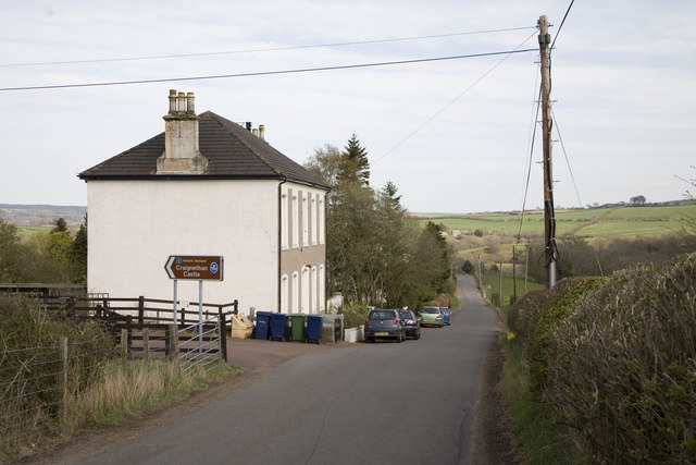
Tillietudlem
The single-track road leading to Craignethan Castle is signposted.
 Map © Crown Copyright")
TIP: Click the map for more Large scale mapping
- Grid Square
- NS8045, 21 images (more nearby 🔍)
- Photographer
- Roy Tait (more nearby)
- Date Taken
- Sunday, 30 April, 2006 (more nearby)
- Submitted
- Sunday, 8 April, 2007
- Subject Location
-
OSGB36:
 NS 809 458 [100m precision]
WGS84: 55:41.4709N 3:53.7668W - Camera Location
-
OSGB36: NS 808 458
- View Direction
- EAST (about 90 degrees)