2005
SU4677 : Peasemore Farm
taken 19 years ago, near to Peasemore, West Berkshire, England
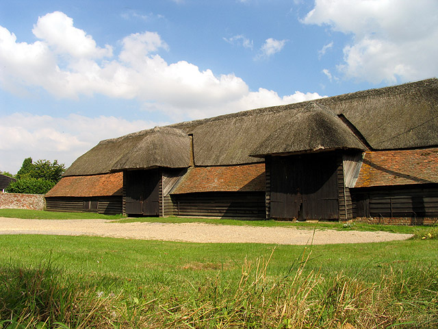
Peasemore Farm
This barn is in the south western corner of the square. The picture was taken from inside the corner of the square looking into the square. This square is all farmland and farm buildings with some copses.
 Map © Crown Copyright")
TIP: Click the map for more Large scale mapping
- Grid Square
- SU4677, 18 images (more nearby 🔍)
- Photographer
- Pam Brophy (more nearby)
- Date Taken
- Tuesday, 16 August, 2005 (more nearby)
- Submitted
- Thursday, 18 August, 2005
- Subject Location
-
OSGB36:
 SU 46005 77038 [1m precision]
WGS84: 51:29.4255N 1:20.3263W