2014
SZ3297 : Road called Undershore
taken 10 years ago, near to Portmore, Hampshire, England
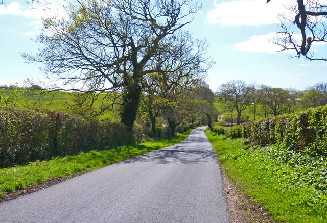
Road called Undershore
This lane runs from Walhampton, near Lymington, to Vicars Hill.
Although it runs upwards towards the hill, it goes by the name of Undershore.
Although it runs upwards towards the hill, it goes by the name of Undershore.
 Map © Crown Copyright")
TIP: Click the map for more Large scale mapping
- Grid Square
- SZ3297, 21 images (more nearby 🔍)
- Photographer
- Mike Smith (more nearby)
- Date Taken
- Monday, 14 April, 2014 (more nearby)
- Submitted
- Monday, 14 April, 2014
- Subject Location
-
OSGB36:
 SZ 3263 9709 [10m precision]
WGS84: 50:46.3488N 1:32.3173W - Camera Location
-
OSGB36: SZ 3263 9713
- View Direction
- SOUTH (about 180 degrees)