2014
SE5502 : Flood bank, west bank, River Don, upstream of Newton
taken 10 years ago, near to Sprotbrough, Doncaster, England
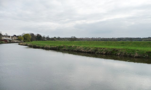
Flood bank, west bank, River Don, upstream of Newton
Seen from the barge Sobriety, heading from Goole to Sprotbrough.
 Map © Crown Copyright")
TIP: Click the map for more Large scale mapping
- Grid Square
- SE5502, 39 images (more nearby 🔍)
- Photographer
- Christine Johnstone (more nearby)
- Date Taken
- Friday, 4 April, 2014 (more nearby)
- Submitted
- Monday, 14 April, 2014
- Subject Location
-
OSGB36:
 SE 5557 0246 [10m precision]
WGS84: 53:30.9533N 1:9.8054W - Camera Location
-
OSGB36: SE 5557 0251
- View Direction
- SOUTH (about 180 degrees)