2005
SU4679 : Farmland near Stanmore
taken 19 years ago, near to Stanmore, West Berkshire, England
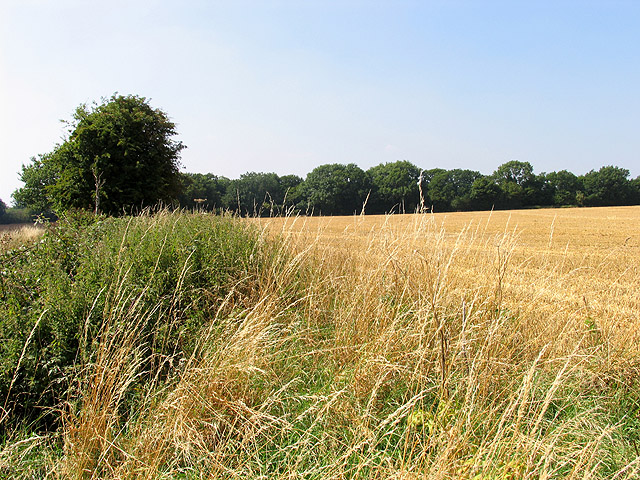
Farmland near Stanmore
This view of a field between Green lane and the southern byway in the square, was taken from the southern byway leading from Stanmore to Green lane, looking towards Redlane wood. The square is all farmland.
 Map © Crown Copyright")
TIP: Click the map for more Large scale mapping
- Grid Square
- SU4679, 32 images (more nearby 🔍)
- Photographer
- Pam Brophy (more nearby)
- Date Taken
- Wednesday, 17 August, 2005 (more nearby)
- Submitted
- Thursday, 18 August, 2005
- Subject Location
-
OSGB36:
 SU 46938 79057 [1m precision]
WGS84: 51:30.5101N 1:19.5040W