2014
NY2523 : River Derwent, Upstream from Portinscale Bridge
taken 10 years ago, near to Portinscale, Cumbria, England
This is 1 of 13 images, with title starting with River Derwent in this square
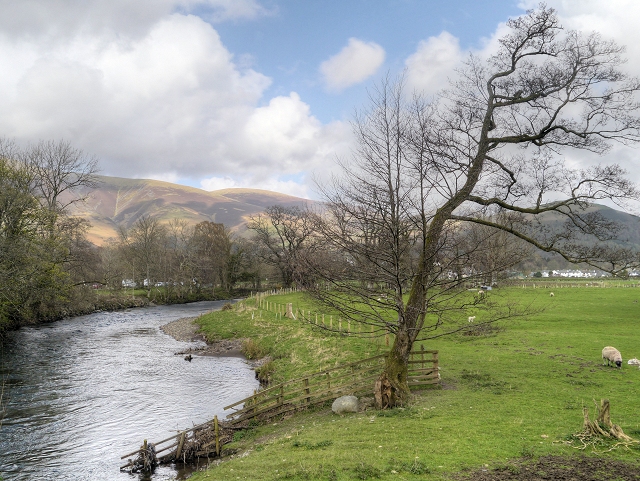
River Derwent, Upstream from Portinscale Bridge
The River Derwent rises at Styhead Tarn underneath Scafell Pike and flows in a northerly direction through the valley of Borrowdale, before continuing through Derwentwater (giving the lake its name). The river then continues into Bassenthwaite Lake, being joined by the waters of the River Greta just outside Keswick.
Beyond Bassenthwaite Lake the river flows westwards through the Isel Valley, before leaving the Lake District National Park just before reaching Cockermouth where it is met by another tributary, the River Cocker. The river flows into the Irish Sea at Workington.
The name Derwent is derived from a Celtic word for "oak trees".
See other images of River Derwent in Cumbria
 Map © Crown Copyright")
TIP: Click the map for more Large scale mapping
- Grid Square
- NY2523, 159 images (more nearby 🔍)
- Photographer
- David Dixon (more nearby)
- Date Taken
- Saturday, 12 April, 2014 (more nearby)
- Submitted
- Tuesday, 15 April, 2014
- Subject Location
-
OSGB36:
 NY 2539 2379 [10m precision]
WGS84: 54:36.2248N 3:9.3904W - Camera Location
-
OSGB36: NY 2535 2376
- View Direction
- East-northeast (about 67 degrees)