2014
SD5254 : View From The Damas Gill Bridge
taken 10 years ago, near to Lower Green Bank, Lancashire, England
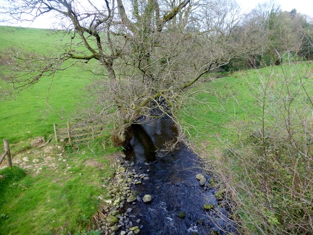
View From The Damas Gill Bridge
Damas Gill Bridge also has a cut mark on the NW face at the NE end.
 Map © Crown Copyright")
TIP: Click the map for more Large scale mapping
- Grid Square
- SD5254, 18 images (more nearby 🔍)
- Photographer
- Rude Health (more nearby)
- Date Taken
- Monday, 14 April, 2014 (more nearby)
- Submitted
- Tuesday, 15 April, 2014
- Subject Location
-
OSGB36:
 SD 5253 5420 [10m precision]
WGS84: 53:58.8998N 2:43.5204W - Camera Location
-
OSGB36: SD 5253 5419
- View Direction
- North-northwest (about 337 degrees)