2005
SU4477 : Peasemore Hill
taken 19 years ago, near to Peasemore, West Berkshire, England
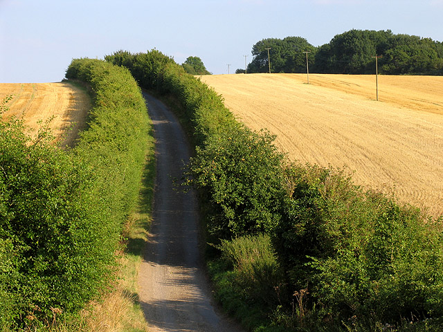
Peasemore Hill
A view of the Peasemore Hill road in the north eastern section of the square, flanked by farmland on each side.
 Map © Crown Copyright")
TIP: Click the map for more Large scale mapping
- Grid Square
- SU4477, 10 images (more nearby 🔍)
- Photographer
- Pam Brophy (more nearby)
- Date Taken
- Wednesday, 17 August, 2005 (more nearby)
- Submitted
- Thursday, 18 August, 2005
- Subject Location
-
OSGB36:
 SU 44 77 [1000m precision]
WGS84: 51:29.6819N 1:21.6234W