2007
TL0965 : Footpath near Hoo Farm
taken 17 years ago, near to Pertenhall, Bedford, England
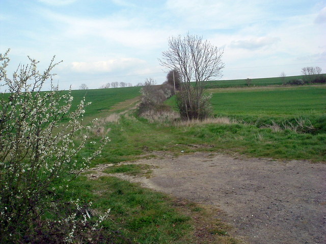
Footpath near Hoo Farm
Looking north
 Map © Crown Copyright")
TIP: Click the map for more Large scale mapping
- Grid Square
- TL0965, 2 images (more nearby 🔍)
- Photographer
- Les Harvey (more nearby)
- Date Taken
- Sunday, 8 April, 2007 (more nearby)
- Submitted
- Sunday, 8 April, 2007
- Subject Location
-
OSGB36:
 TL 093 651 [100m precision]
WGS84: 52:16.4399N 0:23.9346W - Camera Location
-
OSGB36: TL 093 650
- View Direction
- North-northeast (about 22 degrees)