2014
SO5816 : Footpath from English Bicknor to Lower Lydbrook
taken 10 years ago, near to Welsh Bicknor, Gloucestershire, England
This is 1 of 20 images, with title Footpath from English Bicknor to Lower Lydbrook in this square
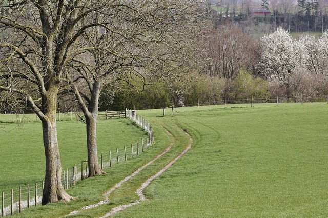
Footpath from English Bicknor to Lower Lydbrook
This path runs from just north of English Bicknor down to the entrance to Stowfield Farm.
 Map © Crown Copyright")
TIP: Click the map for more Large scale mapping
- Grid Square
- SO5816, 79 images (more nearby 🔍)
- Photographer
- Stuart Wilding (more nearby)
- Date Taken
- Friday, 11 April, 2014 (more nearby)
- Submitted
- Thursday, 17 April, 2014
- Subject Location
-
OSGB36:
 SO 5878 1692 [10m precision]
WGS84: 51:50.9606N 2:35.9889W - Camera Location
-
OSGB36: SO 58782 16842
- View Direction
- NORTH (about 0 degrees)