2014
SZ3296 : Lower Buckland Road
taken 10 years ago, near to Lymington, Hampshire, England
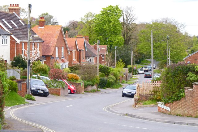
Lower Buckland Road
This road is a useful cut-through from the north of Lymington towards the New Forest Hospital and beyond to Brockenhurst.
 Map © Crown Copyright")
TIP: Click the map for more Large scale mapping
- Grid Square
- SZ3296, 52 images (more nearby 🔍)
- Photographer
- Mike Smith (more nearby)
- Date Taken
- Saturday, 19 April, 2014 (more nearby)
- Submitted
- Saturday, 19 April, 2014
- Subject Location
-
OSGB36:
 SZ 3200 9614 [10m precision]
WGS84: 50:45.8384N 1:32.8583W - Camera Location
-
OSGB36: SZ 3201 9612
- View Direction
- NORTH (about 0 degrees)