2007
TL2699 : North Fen from the flood bank
taken 17 years ago, near to North Side, Peterborough, England
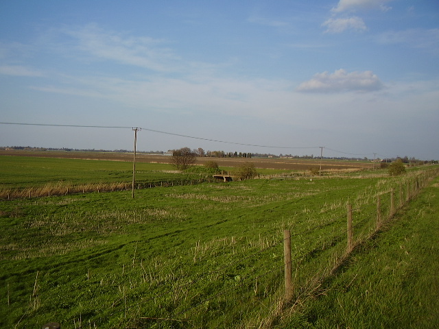
North Fen from the flood bank
The old route of the Nene Way walk. The route now follows the Green Wheel cycle route through Whittlesey
 Map © Crown Copyright")
TIP: Click the map for more Large scale mapping
- Grid Square
- TL2699, 21 images (more nearby 🔍)
- Photographer
- Ken Brockway (more nearby)
- Date Taken
- Sunday, 8 April, 2007 (more nearby)
- Submitted
- Sunday, 8 April, 2007
- Subject Location
-
OSGB36:
 TL 261 992 [100m precision]
WGS84: 52:34.5595N 0:8.3820W - Camera Location
-
OSGB36: TL 260 990
- View Direction
- Northeast (about 45 degrees)