2014
SU7563 : Jouldings Lane at Well House Lane
taken 10 years ago, near to Farley Hill, Wokingham, England
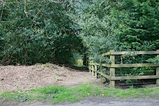
Jouldings Lane at Well House Lane
Jouldings Lane is a minor road south from Bungler's Hill in Farley Hill. Just short of Jouldings Ford, the road becomes unsurfaced before crossing the ford itself. South of the ford, the lane is an unmaintained track between hedges, before emerging onto the southern side of Bramshill common, and onto Well House Lane.
The lane is ancient in origin, being recorded on eighteenth century maps, and predating the Swallowfield inclosures in the nineteenth century, but Jouldings Ford has been impassable to motor vehicles for many years.
See other images of Jouldings Lane
The lane is ancient in origin, being recorded on eighteenth century maps, and predating the Swallowfield inclosures in the nineteenth century, but Jouldings Ford has been impassable to motor vehicles for many years.
See other images of Jouldings Lane
 Map © Crown Copyright")
TIP: Click the map for more Large scale mapping
- Grid Square
- SU7563, 22 images (more nearby 🔍)
- Photographer
- Hugh Craddock (more nearby)
- Date Taken
- Saturday, 19 April, 2014 (more nearby)
- Submitted
- Saturday, 19 April, 2014
- Subject Location
-
OSGB36:
 SU 75127 63225 [1m precision]
WGS84: 51:21.7880N 0:55.3387W - Camera Location
-
OSGB36: SU 75122 63217
- View Direction
- Northeast (about 45 degrees)