2014
TF9014 : Field boundary ditch and hedge
taken 10 years ago, near to Beeston, Norfolk, England
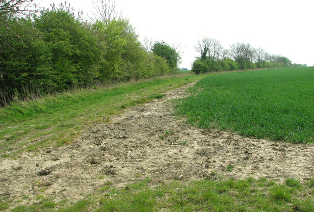
Field boundary ditch and hedge
 Map © Crown Copyright")
TIP: Click the map for more Large scale mapping
- Grid Square
- TF9014, 46 images (more nearby 🔍)
- Photographer
- Evelyn Simak (more nearby)
- Date Taken
- Monday, 21 April, 2014 (more nearby)
- Submitted
- Monday, 21 April, 2014
- Subject Location
-
OSGB36:
 TF 9028 1483 [10m precision]
WGS84: 52:41.8621N 0:48.8689E - Camera Location
-
OSGB36: TF 90237 14926
- View Direction
- South-southeast (about 157 degrees)