2014
SU6948 : The eastern end of Cleves Lane
taken 10 years ago, near to Upton Grey, Hampshire, England
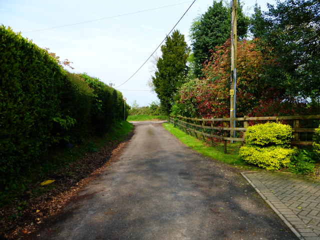
The eastern end of Cleves Lane
 Map © Crown Copyright")
TIP: Click the map for more Large scale mapping
- Grid Square
- SU6948, 135 images (more nearby 🔍)
- Photographer
- Shazz (more nearby)
- Date Taken
- Monday, 21 April, 2014 (more nearby)
- Submitted
- Tuesday, 22 April, 2014
- Subject Location
-
OSGB36:
 SU 6978 4897 [10m precision]
WGS84: 51:14.1393N 1:0.1129W - Camera Location
-
OSGB36: SU 6975 4894
- View Direction
- Northeast (about 45 degrees)