2014
NT2418 : The Crosscleuch Burn
taken 10 years ago, 4 km S of Cappercleuch, Scottish Borders, Scotland
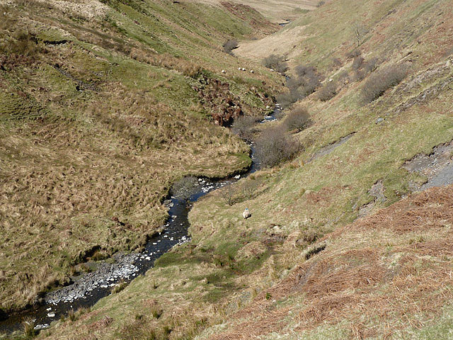
The Crosscleuch Burn
This small hill burn was viewed between Peat Hill and Earls Hill.
 Map © Crown Copyright")
TIP: Click the map for more Large scale mapping
- Grid Square
- NT2418, 16 images (more nearby 🔍)
- Photographer
- Walter Baxter (more nearby)
- Date Taken
- Saturday, 19 April, 2014 (more nearby)
- Submitted
- Tuesday, 22 April, 2014
- Subject Location
-
OSGB36:
 NT 2480 1894 [10m precision]
WGS84: 55:27.5104N 3:11.4436W - Camera Location
-
OSGB36: NT 2490 1885
- View Direction
- Northwest (about 315 degrees)