2014
D0804 : "Staggered crossroads" sign, Ballymena
taken 10 years ago, near to Galgorm, Co Antrim, Northern Ireland
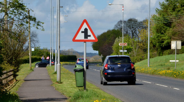
"Staggered crossroads" sign, Ballymena
A sign, on the Cullybackey Road D0903 : The Cullybackey Road, Ballymena (April 2014), approaching the staggered crossroads with the Woodtown Road, from the Ballymena direction.
Road signs and markings, Northern Ireland
A collection of photographs showing road signs and marking in their context. It exists as a matter of record only, has no connection with any official body and does not claim to be a definitive or legally-binding guide. The official version is the Highway Code for Northern Ireland.
No breach of Crown copyright intended. I believe that my submissions are in accordance with the terms of the Open Government Licence for public sector information Link
Loading map... (JavaScript required)
- Grid Square
- D0804, 14 images (more nearby 🔍)
- Photographer
- Albert Bridge (more nearby)
- Date Taken
- Thursday, 24 April, 2014 (more nearby)
- Submitted
- Thursday, 24 April, 2014
- Subject Location
-
Irish:
 D 084 042 [100m precision]
WGS84: 54:52.4423N 6:18.7265W - Camera Location
-
Irish: D 084 042
- View Direction
- West-northwest (about 292 degrees)