2014
NY2234 : The bridleway from High Bewaldeth to Fell End
taken 10 years ago, near to Bewaldeth, Cumbria, England
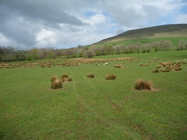
The bridleway from High Bewaldeth to Fell End
Looking north-west across a sheep pasture.
 Map © Crown Copyright")
TIP: Click the map for more Large scale mapping
- Grid Square
- NY2234, 16 images (more nearby 🔍)
- Photographer
- Christine Johnstone (more nearby)
- Date Taken
- Thursday, 24 April, 2014 (more nearby)
- Submitted
- Saturday, 26 April, 2014
- Subject Location
-
OSGB36:
 NY 2235 3431 [10m precision]
WGS84: 54:41.8684N 3:12.3812W - Camera Location
-
OSGB36: NY 2236 3429
- View Direction
- Northwest (about 315 degrees)