2014
NC4015 : The Allt Dail Faid, Glen Cassley, Sutherland
taken 10 years ago, near to Allt Dail Fàid [water Feature], Highland, Great Britain
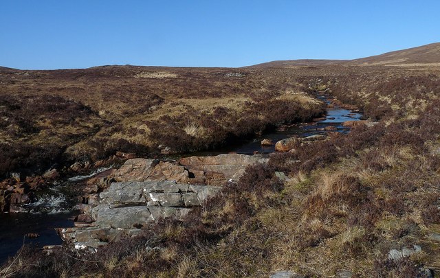
The Allt Dail Faid, Glen Cassley, Sutherland
 Map © Crown Copyright")
TIP: Click the map for more Large scale mapping
- Grid Square
- NC4015 (more nearby 🔍)
- Photographer
- Claire Pegrum (more nearby)
- Date Taken
- Sunday, 20 April, 2014 (more nearby)
- Submitted
- Saturday, 26 April, 2014
- Subject Location
-
OSGB36:
 NC 40607 15130 [1m precision]
WGS84: 58:5.7840N 4:42.3543W - Camera Location
-
OSGB36: NC 40607 15130
- View Direction
- Northeast (about 45 degrees)