2014
SK2234 : Sutton Brook
taken 10 years ago, near to Sutton on The Hill, Derbyshire, England
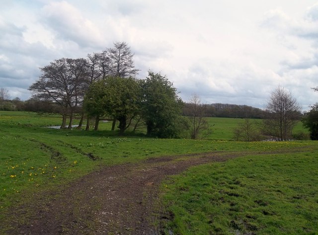
Sutton Brook
Farmland, farm track and stream seen here meandering lazily on its southbound journey towards the River Dove.
 Map © Crown Copyright")
TIP: Click the map for more Large scale mapping
- Grid Square
- SK2234, 11 images (more nearby 🔍)
- Photographer
- Jonathan Clitheroe (more nearby)
- Date Taken
- Saturday, 26 April, 2014 (more nearby)
- Submitted
- Sunday, 27 April, 2014
- Subject Location
-
OSGB36:
 SK 2223 3427 [10m precision]
WGS84: 52:54.3245N 1:40.2559W - Camera Location
-
OSGB36: SK 2218 3422
- View Direction
- Northeast (about 45 degrees)