2014

NT8310 : Blind Burn

taken 10 years ago, near to Blindburn, Northumberland, England
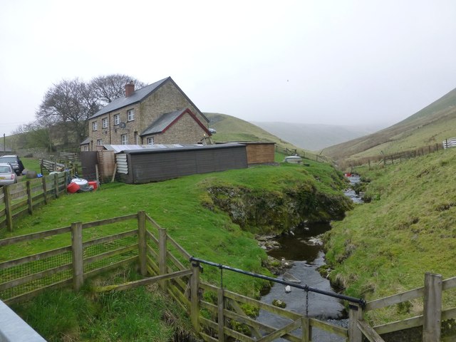
Blind Burn
Blind Burn
At Blindburn Bridge.

Creative Commons Licence [Some Rights Reserved]   © Copyright Russel Wills and licensed for reuse under this Creative Commons Licence.
Geographical Context: Uplands Rivers, Streams, Drainage Village, Rural settlement other tags: Bridge Click a tag, to view other nearby images.
This photo is linked from: Automatic Clusters: · River Coquet [7] · Blindburn Bridge [3] Other Photos: · Blindburn Cottages from the rear ·
1:50,000 Modern Day Landranger(TM) Map © Crown Copyright
+
+
1:50,000 Modern Day Landranger(TM) Map © Crown Copyright
TIP: Click the map for more Large scale mapping
Grid Square
NT8310, 8 images   (more nearby 🔍)
Photographer
Russel Wills   (more nearby)
Date Taken
Wednesday, 30 April, 2014   (more nearby)
Submitted
Thursday, 1 May, 2014
Subject Location
OSGB36: geotagged! NT 8302 1090 [10m precision]
WGS84: 55:23.5056N 2:16.1762W
Camera Location
OSGB36: geotagged! NT 83043 10899
View Direction
West-northwest (about 292 degrees)
Clickable map
+
NW N NE
W Go E
SW S SE
Image classification(about): Geograph (Fourth Visitor for NT8310)
This page has been viewed about 59 times
You are not logged in login | register