2014
NS3483 : Goukhill Muir viewpoint
taken 10 years ago, near to Dumfin, Argyll And Bute, Scotland
This is 1 of 3 images, with title starting with Goukhill Muir in this square
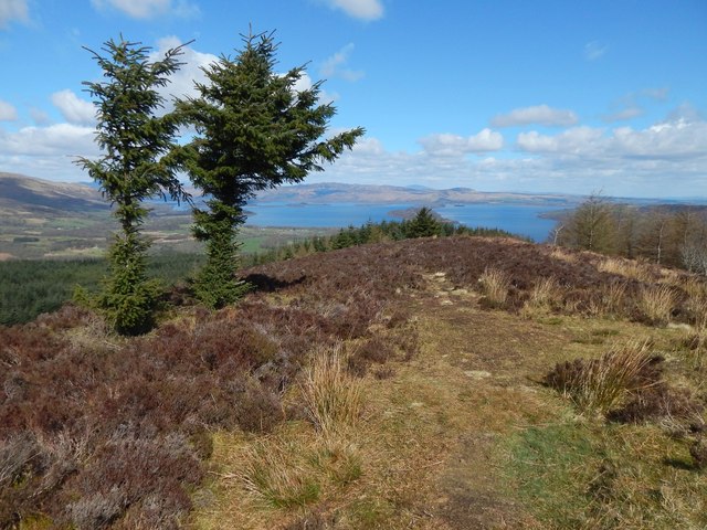
Goukhill Muir viewpoint
For the path leading here, see NS3482 : Footpath junction and NS3482 : Path to viewpoint.
See also NS3483 : Goukhill Muir; as noted there, the viewpoint is on a ridge oriented SW-NE, and the alignment of this ridge with a string of islands in Loch Lomond, and with Conic Hill on the far shore, is no accident, but instead marks the course of the Highland Boundary Fault line.
For a wide view from the viewpoint, see NS3483 : View from Goukhill Muir.
 Map © Crown Copyright")
TIP: Click the map for more Large scale mapping
- Grid Square
- NS3483, 35 images (more nearby 🔍)
- Photographer
- Lairich Rig (more nearby)
- Date Taken
- Monday, 14 April, 2014 (more nearby)
- Submitted
- Saturday, 3 May, 2014
- Subject Location
-
OSGB36:
 NS 3464 8303 [10m precision]
WGS84: 56:0.6954N 4:39.2411W - Camera Location
-
OSGB36: NS 3464 8303
- View Direction
- Northeast (about 45 degrees)