2014
NH3439 : Dry channel, River Farrar
taken 10 years ago, near to Glen Strathfarrar [other Features], Highland, Great Britain
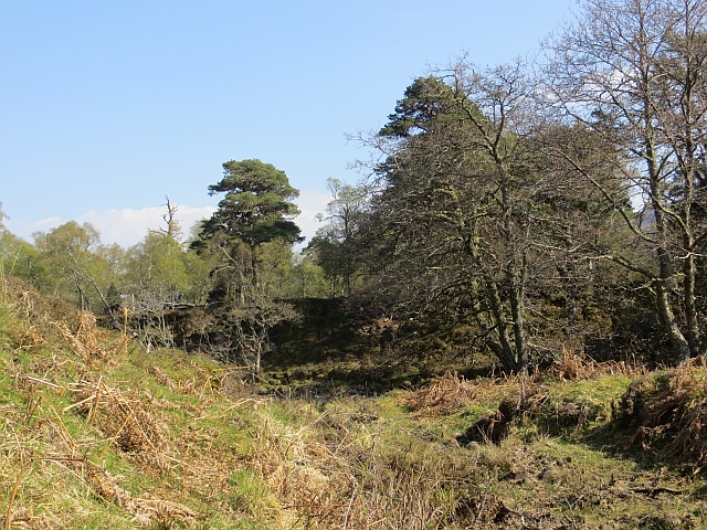
Dry channel, River Farrar
A stone floored gully which appears to flood when the river is in spate.
 Map © Crown Copyright")
TIP: Click the map for more Large scale mapping
- Grid Square
- NH3439, 17 images (more nearby 🔍)
- Photographer
- Richard Webb (more nearby)
- Date Taken
- Monday, 28 April, 2014 (more nearby)
- Submitted
- Tuesday, 6 May, 2014
- Subject Location
-
OSGB36:
 NH 3431 3959 [10m precision]
WGS84: 57:24.9829N 4:45.6239W - Camera Location
-
OSGB36: NH 3430 3959
- View Direction
- East-southeast (about 112 degrees)