2014
ST5277 : St Mary's Road, Shirehampton
taken 10 years ago, near to Shirehampton, Bristol, England
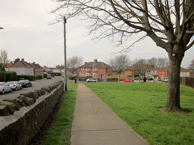
St Mary's Road, Shirehampton
With a grassy area beside Jim O'Neil House on the right. The junction ahead on the right is with Beachley Walk.
 Map © Crown Copyright")
TIP: Click the map for more Large scale mapping
- Grid Square
- ST5277, 117 images (more nearby 🔍)
- Photographer
- Derek Harper (more nearby)
- Date Taken
- Saturday, 29 March, 2014 (more nearby)
- Submitted
- Monday, 12 May, 2014
- Subject Location
-
OSGB36:
 ST 5269 7709 [10m precision]
WGS84: 51:29.4459N 2:40.9688W - Camera Location
-
OSGB36: ST 5274 7705
- View Direction
- Northwest (about 315 degrees)