2012
TQ5074 : The Rose Garden - Hall Place, Bexley
taken 12 years ago, near to Crayford, Bexley, England
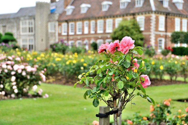
The Rose Garden - Hall Place, Bexley
The first visual record of the gardens is John Bowra's map of the estate from 1768. What is now the formal garden was then called Bowling Green Mead, a legacy of its function as a space for outdoor entertainments such as bowls from the sixteenth century onwards.
 Map © Crown Copyright")
TIP: Click the map for more Large scale mapping
- Grid Square
- TQ5074, 143 images (more nearby 🔍)
- Photographer
- Brian Chadwick (more nearby)
- Date Taken
- Wednesday, 27 June, 2012 (more nearby)
- Submitted
- Friday, 16 May, 2014
- Subject Location
-
OSGB36:
 TQ 5012 7427 [10m precision]
WGS84: 51:26.8515N 0:9.5337E - Camera Location
-
OSGB36: TQ 5012 7426
- View Direction
- NORTH (about 0 degrees)