2014
SU3405 : Path south of Beaulieu Road Station
taken 10 years ago, 4 km NNW of Furzey Lodge, Hampshire, England
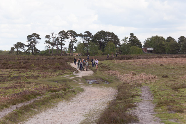
Path south of Beaulieu Road Station
With bird watchers, or so they seemed from their equipment. At right can be seen a railway bridge which is marked E2/24. It is a bridge to nowhere as the land on its eastern side is entirely surrounded by impassable bog.
 Map © Crown Copyright")
TIP: Click the map for more Large scale mapping
- Grid Square
- SU3405, 38 images (more nearby 🔍)
- Photographer
- Peter Facey (more nearby)
- Date Taken
- Wednesday, 14 May, 2014 (more nearby)
- Submitted
- Friday, 16 May, 2014
- Subject Location
-
OSGB36:
 SU 349 055 [100m precision]
WGS84: 50:50.8837N 1:30.3039W - Camera Location
-
OSGB36: SU 349 054
- View Direction
- North-northeast (about 22 degrees)