2014
TF1606 : Farm track between Glinton and Peakirk
taken 10 years ago, near to Peakirk, Peterborough, England
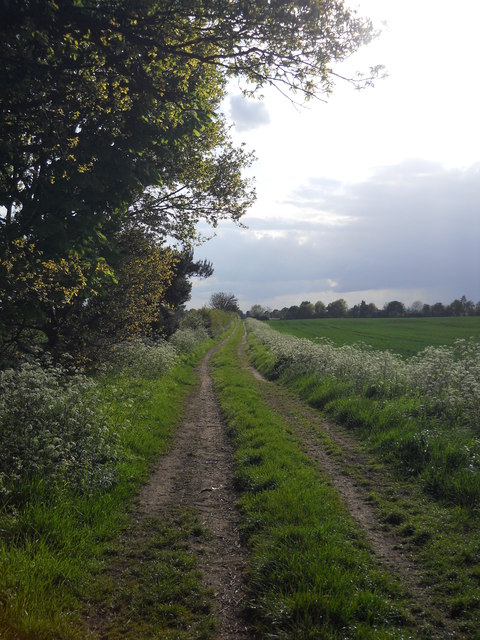
Farm track between Glinton and Peakirk
This farm track and footpath links North Fen Road, Glinton, with Rectory Lane, Peakirk.
 Map © Crown Copyright")
TIP: Click the map for more Large scale mapping
- Grid Square
- TF1606, 170 images (more nearby 🔍)
- Photographer
- Paul Bryan (more nearby)
- Date Taken
- Tuesday, 6 May, 2014 (more nearby)
- Submitted
- Saturday, 17 May, 2014
- Subject Location
-
OSGB36:
 TF 1659 0655 [10m precision]
WGS84: 52:38.6502N 0:16.6958W - Camera Location
-
OSGB36: TF 1664 0657
- View Direction
- West-southwest (about 247 degrees)