2014
SW9763 : The lane to Demelza
taken 10 years ago, near to St Wenn, Cornwall, England
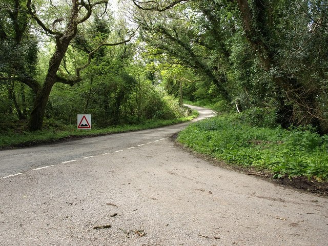
The lane to Demelza
This junction is at the bottom of a dense, damp strip of woodland, the air in which was full of small flies when this picture was taken.
 Map © Crown Copyright")
TIP: Click the map for more Large scale mapping
- Grid Square
- SW9763, 7 images (more nearby 🔍)
- Photographer
- David Gearing (more nearby)
- Date Taken
- Tuesday, 13 May, 2014 (more nearby)
- Submitted
- Sunday, 18 May, 2014
- Subject Location
-
OSGB36:
 SW 9776 6354 [10m precision]
WGS84: 50:26.2070N 4:50.9588W - Camera Location
-
OSGB36: SW 9776 6354
- View Direction
- WEST (about 270 degrees)