2014
TQ0375 : River Colne
taken 10 years ago, near to Stanwell Moor, Surrey, England
This is 1 of 2 images, with title River Colne in this square
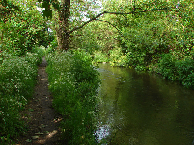
River Colne
The footpath part of Leylands Lane alongside the Colne.
 Map © Crown Copyright")
TIP: Click the map for more Large scale mapping
- Grid Square
- TQ0375, 83 images (more nearby 🔍)
- Photographer
- Alan Hunt (more nearby)
- Date Taken
- Friday, 16 May, 2014 (more nearby)
- Submitted
- Sunday, 18 May, 2014
- Subject Location
-
OSGB36:
 TQ 039 750 [100m precision]
WGS84: 51:27.8767N 0:30.2822W - Camera Location
-
OSGB36: TQ 039 750
- View Direction
- NORTH (about 0 degrees)