2014
SX3366 : Lane to Crift
taken 10 years ago, near to Newbridge, Cornwall, England
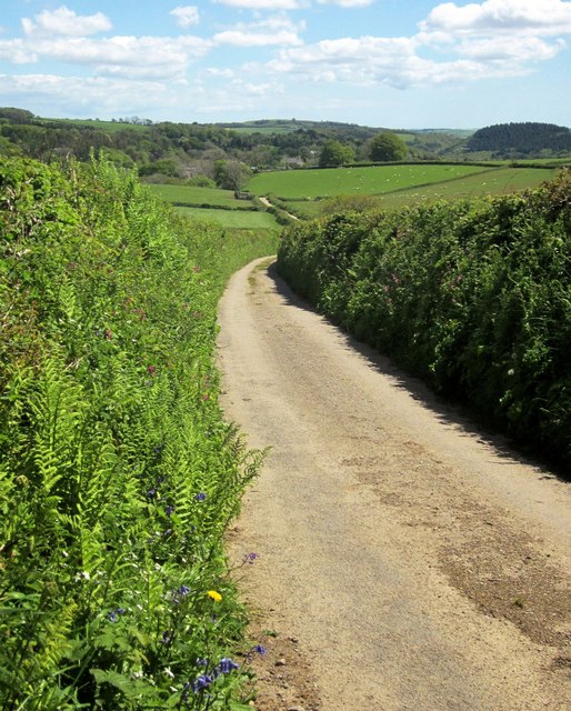
Lane to Crift
Heading towards the Lynher valley, where the woods are.
 Map © Crown Copyright")
TIP: Click the map for more Large scale mapping
- Grid Square
- SX3366, 9 images (more nearby 🔍)
- Photographer
- Derek Harper (more nearby)
- Date Taken
- Wednesday, 14 May, 2014 (more nearby)
- Submitted
- Tuesday, 20 May, 2014
- Subject Location
-
OSGB36:
 SX 3356 6672 [10m precision]
WGS84: 50:28.5965N 4:20.8253W - Camera Location
-
OSGB36: SX 3350 6676
- View Direction
- East-southeast (about 112 degrees)