2014
TL1289 : Farmland near Ongutein Manor Farm
taken 10 years ago, near to Lutton, North Northamptonshire, England
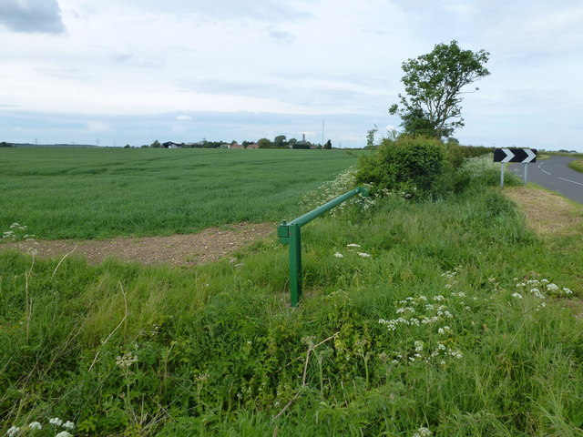
Farmland near Ongutein Manor Farm
 Map © Crown Copyright")
TIP: Click the map for more Large scale mapping
- Grid Square
- TL1289, 11 images (more nearby 🔍)
- Photographer
- Richard Humphrey (more nearby)
- Date Taken
- Tuesday, 20 May, 2014 (more nearby)
- Submitted
- Thursday, 22 May, 2014
- Subject Location
-
OSGB36:
 TL 1227 8941 [10m precision]
WGS84: 52:29.4635N 0:20.8729W - Camera Location
-
OSGB36: TL 1226 8912
- View Direction
- NORTH (about 0 degrees)