2014
ST6163 : Mill weir on the River Chew at Byemills Farm
taken 10 years ago, near to Pensford, Bath And North East Somerset, England
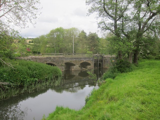
Mill weir on the River Chew at Byemills Farm
 Map © Crown Copyright")
TIP: Click the map for more Large scale mapping
- Grid Square
- ST6163, 129 images (more nearby 🔍)
- Photographer
- Dr Duncan Pepper (more nearby)
- Date Taken
- Thursday, 22 May, 2014 (more nearby)
- Submitted
- Thursday, 22 May, 2014
- Subject Location
-
OSGB36:
 ST 6101 6381 [10m precision]
WGS84: 51:22.3200N 2:33.6911W - Camera Location
-
OSGB36: ST 6101 6377
- View Direction
- NORTH (about 0 degrees)